 ultimate-guide
Medieval Celestial Mapping for Modern Practitioners
Table of Contents
- How Medieval Celestial Mapping Works
- Understanding Lunar Mansions Meaning in Practice
- Islamic Contributions to Celestial Cartography
- Using Moon Phase for Personal Growth
- Moon Mansion Calculator Tools for Modern Practice
- Reconstructing Medieval Star Charts Today
- Frequently Asked Questions
Last Updated: September 26, 2026
How Medieval Celestial Mapping Works
Medieval celestial mapping for modern practitioners bridges historical astronomical knowledge and contemporary practice. Medieval astronomers worked within a geocentric framework where Earth occupied the cosmos's center, fundamentally shaping how they mapped and navigated celestial space.
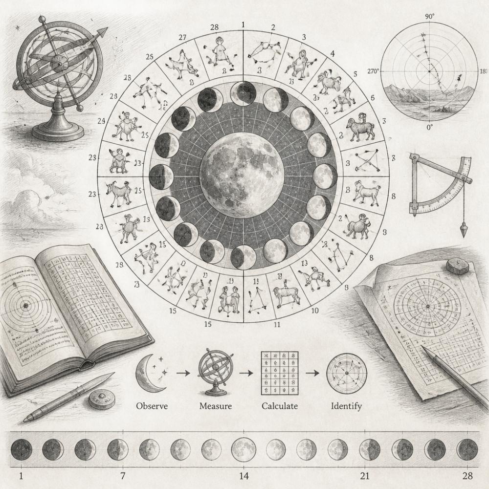
The geocentric model was a logical framework built on observable phenomena: stars appeared to rotate around a fixed Earth, planets moved in complex patterns, and the Sun and Moon traced predictable paths. Medieval scholars developed sophisticated tools and methods to track celestial bodies with remarkable precision.
Medieval celestial mapping produced some of history's most beautiful and scientifically rigorous documents. Research from Indiana University's AstroLABe Project demonstrates how medieval scholars integrated celestial positioning with terrestrial navigation through tools like astrolabes and T-O maps. These weren't mere artistic endeavors, they were working instruments that practitioners used to solve real problems: determining prayer times, planning agricultural activities, and conducting rituals aligned with celestial events.
The Geocentric Model and Celestial Sphere
The geocentric model placed Earth at the center of a celestial sphere, an imaginary sphere of infinite radius with Earth at its center. All celestial bodies were fixed to this sphere or moved within it according to mathematical principles. This model provided a coherent system for describing celestial motion and predicting planetary positions.
Medieval astronomers developed a coordinate system based on the celestial equator (Earth's equator projected onto the celestial sphere) and the ecliptic (the Sun's apparent path through the stars). These two great circles provided reference points for measuring celestial longitude and latitude.
Medieval practitioners used the celestial sphere as a practical tool for navigation, predicting seasonal changes, and timing activities according to celestial events.
Star Cataloging and Constellation Mapping
Medieval astronomers inherited constellation names from Islamic and Greek traditions. Each constellation represented a sky region with specific stars forming recognizable patterns, Orion's distinctive bright stars, for example, made it identifiable to observers with minimal training.
Star cataloging in the medieval period involved meticulous observation and record-keeping. Astronomers noted the brightness of stars, their positions relative to other stars, and their behavior over time. Research from Zooniverse's Mapping Historic Skies project reveals that celestial mapping was deeply embedded in the specific time and place of the observer, reflecting the societal and cultural values of the era in which the map was created.
Medieval star catalogs contained hundreds of entries with position, brightness, color, and movement notes. Practitioners can access digitized versions through academic archives, providing direct insight into medieval astronomical understanding.
Understanding Lunar Mansions Meaning in Practice
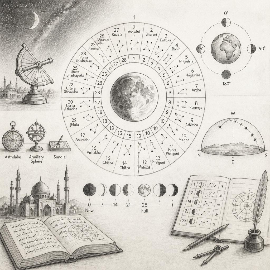
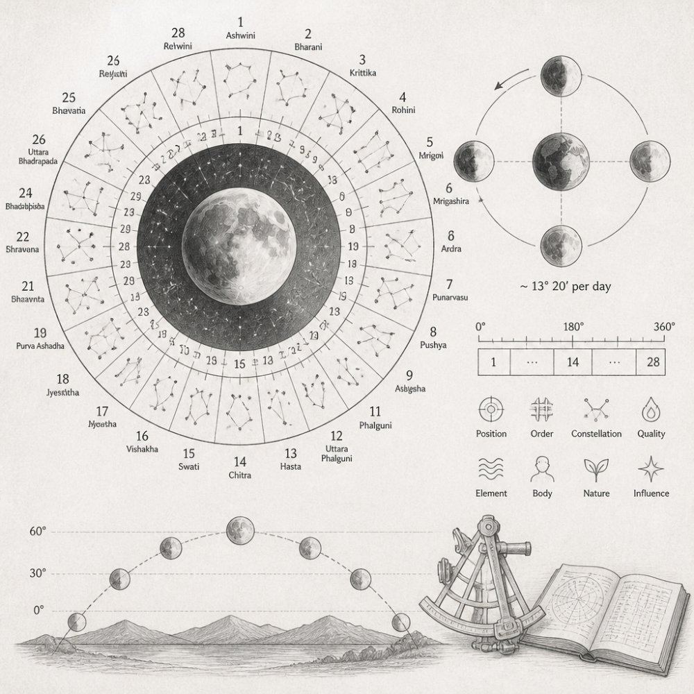
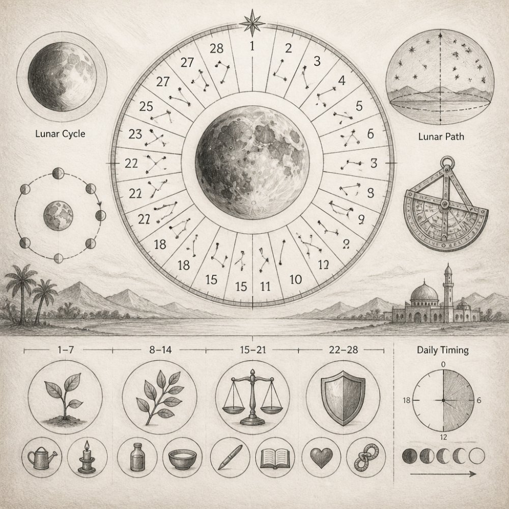
The lunar mansions represent one of the most practical applications of medieval celestial mapping. Rather than tracking the Sun's annual path through the zodiac, the lunar mansions track the Moon's monthly journey across the celestial sphere. This system divides the Moon's apparent path into 28 segments, each associated with specific celestial coordinates, traditional names, and attributed qualities.
The lunar mansions emerged from Islamic astronomy and were systematized by medieval Islamic scholars. The 28 divisions reflect the Moon's actual synodic month, making them directly applicable to practical timing decisions.
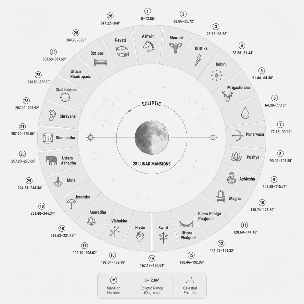
The Moon moves approximately 13 degrees per day along the ecliptic, completing a circuit in roughly 27.3 days. Medieval astronomers divided this path into 28 segments of approximately 12.86 degrees each, each receiving a name derived from nearby bright stars or traditional associations.
The 28 Lunar Mansions of Islamic Astronomy
The 28 lunar mansions carry distinct names drawn from Islamic astronomical tradition, often referencing stars or qualities attributed to each segment.
Each mansion occupies approximately 12.86 degrees of celestial longitude. Modern astronomical algorithms calculate the Moon's ecliptic longitude with high accuracy, enabling practitioners to determine the current lunar mansion instantly.
The 28 mansions reflected observable celestial features, bright stars, star clusters, and distinctive patterns marked boundaries. This grounding in actual stellar positions made the system verifiable and reproducible.
Mansion Names and Celestial Coordinates
Each lunar mansion possesses a celestial coordinate range in degrees of ecliptic longitude, allowing unambiguous determination of which mansion the Moon occupies at any given moment.
The mansion names carry significance within Islamic astronomical tradition, referencing prominent stars or reflecting qualities attributed to each segment.
Find Your Natal Moon Mansion →
Practitioners can reference lunar mansion names from traditional Islamic astronomical texts, which appear consistently across historical sources, providing continuity between medieval and contemporary practice.
Islamic Contributions to Celestial Cartography
Islamic astronomers advanced observational techniques, refined mathematical models, and created new instruments for measuring celestial positions, fundamentally shaping medieval understanding of the cosmos.
Using Moon Phase for Personal Growth
Modern practitioners apply medieval celestial mapping principles to plan activities aligned with lunar cycles. By understanding the Moon's current position within the 28 lunar mansions, practitioners can make informed decisions about when to initiate projects or undertake journeys.
Electional Timing and the Picatrix
The Picatrix, originally composed in Arabic as the Ghayat al-Hakim and translated into Latin during the medieval period, provides detailed guidance on selecting appropriate celestial conditions for beginning activities.
Planning Activities by Lunar Position
Modern practitioners consult current lunar mansion position before initiating activities, treating mansion alignment as one factor among many in decision-making.
Moon Mansion Calculator Tools for Modern Practice
Moon Mansion Calculator makes medieval celestial mapping accessible to modern practitioners, combining precise astronomical algorithms with user-friendly interface design.
How Precision Calculations Bridge History and Today
Precision calculations bridge medieval celestial mapping and contemporary practice. Medieval astronomers performed complex calculations using geometric methods and trigonometric tables; modern computational methods perform identical calculations instantaneously.
Reconstructing Medieval Star Charts Today
Reconstructing medieval star charts involves combining historical research with modern imaging technology. Scholars and practitioners interested in understanding medieval celestial mapping increasingly turn to digital reconstruction methods that make historical knowledge accessible while preserving accuracy.
Multispectral Imaging and Hidden Manuscript Data
Multispectral imaging captures images across multiple wavelengths of light, revealing information invisible to standard photography. Different materials reflect and absorb light differently across the electromagnetic spectrum. By capturing images at multiple wavelengths, researchers can distinguish between different inks, reveal erased or overwritten text, and recover details obscured by aging or damage.
Digital Archives and Accessible Resources
Digital archives have democratized access to medieval astronomical knowledge. Institutions including universities, libraries, and research centers have digitized thousands of medieval manuscripts containing celestial charts and astronomical texts. These resources are often freely accessible online, allowing practitioners worldwide to study historical sources.
Frequently Asked Questions
What are the 28 lunar mansions in Islamic astronomy?
The 28 lunar mansions represent the Moon's nightly positions as it travels through the ecliptic over a lunar month. Each mansion spans approximately 12.86 degrees of celestial longitude and holds specific meanings for timing activities. These divisions come from classical Islamic astronomy and are documented in texts like the Picatrix. Modern practitioners use these positions to plan electional timing for rituals, journeys, and personal projects aligned with lunar cycles.
How can modern practitioners use ancient celestial mapping for personal planning?
Medieval celestial mapping provides a framework for electional timing, choosing auspicious moments based on celestial positions. Practitioners track the Moon's current mansion using moon mansion calculator tools and match activities to mansion meanings. For example, certain mansions support new beginnings, while others favor completion or rest. By aligning your intentions with the lunar cycle, you create a personalized rhythm for growth and decision-making throughout the month.
How did medieval scholars track the moon's position?
Medieval astronomers used astronomical tools like astrolabes and T-O maps to observe and record celestial coordinates. They combined naked-eye observation with mathematical calculations based on the geocentric model, which placed Earth at the center of the celestial sphere. Their star cataloging methods recorded the Moon's ecliptic longitude to determine which mansion it occupied. Modern digital recreations of these historical tools, like those from the AstroLABe Project at Indiana University, now let contemporary practitioners experience these same techniques within a digital framework.
What's the difference between medieval celestial mapping and modern astronomy?
Medieval celestial mapping integrated religious, mythical, and cultural frameworks into astronomical observation, viewing the cosmos through a geocentric lens. Modern astronomy is heliocentric and focuses on physical mechanisms. However, medieval celestial cartography remains valuable for understanding historical knowledge systems and for practitioners using lunar mansion timing. The mathematical celestial coordinates, like ecliptic longitude and celestial latitude, remain accurate across both systems, making medieval star charts useful reference documents today.
How does using moon phase for personal growth actually work in daily life?
Using moon phase for personal growth means aligning your activities with the Moon's current mansion and phase. You might begin creative projects during waxing phases, rest or reflect during waning phases, and time major decisions based on mansion meanings. A practitioner might check their moon mansion calculator tool each morning to see which mansion the Moon occupies, then choose activities that resonate with that mansion's energy. Over time, this creates a natural rhythm that supports your intentions and self-improvement goals throughout the lunar cycle.
Are medieval celestial calculations still accurate today?
Yes. The celestial coordinates used in medieval star charts, ecliptic longitude, celestial latitude, and the positions of major stars, remain mathematically valid. Modern moon mansion calculator tools use precise astronomical algorithms to calculate the Moon's exact position within the 28 mansions. These calculations are based on the same celestial mechanics medieval scholars observed, updated with contemporary data. The accuracy of these tools means you can trust them for timing guidance based on classical sources like the Picatrix.
Where can I find reliable digital archives of medieval celestial maps?
Major institutions like Stanford University and the Newberry Library have digitized medieval celestial manuscripts and made them publicly accessible. The Zooniverse Mapping Historic Skies project allows you to view and analyze historical star maps. Multispectral imaging has even revealed hidden celestial data in medieval manuscripts, including the world's oldest complete star map. These digital archives provide primary sources for studying medieval cosmological maps and understanding how historical practitioners recorded celestial positions.